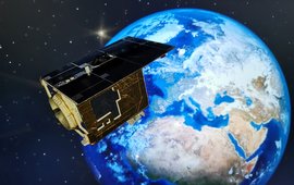
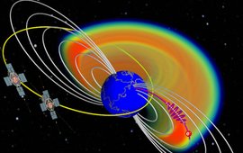
Continuously improving our understanding of the dynamic Earth system by quantifying its state and changes is the core objective of research work in Department 1. To this end, a variety of satellites and ground-based Earth observation systems are used, combined with modeling and analysis methods. We play a leading role in some of the satellite missions, such as the current GRACE-FO gravity field mission and the EnMAP optical remote sensing mission. The processing of the immense and complex amounts of data collected using data analysis and artificial intelligence methods and their assimilation into numerical system models allow a comprehensive interpretation of the observations, which ultimately enables their use in numerous scientific disciplines. In addition, the products generated from these observations form the basis for the further development of Earth observation systems, including their manifold applications. These embrace the scientific use of data from global navigation satellite systems, the high-precision determination of the Earth's gravitational field, the long-term observation of bio- and geophysical parameters, the quantification of surface deformations and the identification of fundamental processes in the development of space radiation.
![[Translate to English:] [Translate to English:] GRACE-FO-Satelliten](/fileadmin/_processed_/0/9/csm_S11_M_f9539dcb9d.jpeg)
![[Translate to English:] [Translate to English:] Banner](/fileadmin/_processed_/9/a/csm_banner_OBP_anom_GR_3_cropped_border_a165ca0d01.jpeg)

