

Detecting tsunamis requires real-time off-shore sea level measurements near the source. Based on our experience in GNSS operated at buoys for radar altimetry calibration, we have further developed and adapted this technology for the Indonesian Tsunami Warning System GITEWS. Under this project, we have built, delivered, and operated a number of buoys in Indonesia, offshore Sumatra and Java.
The 7-meter-high buoys, with a 2-meter diameter, were anchored at a depth of 80 to 150 nautical miles offshore from the Sumatra and Java coasts, in waters up to 6,000 meters deep. Each buoy is equipped with a high-precision GPS (Septentrio AsteRX), a motion sensor to account for tilting, and three dipping sensors for heave compensation. A wide range of meteorological sensors measure supplementary scientific data. The solar-powered buoy is designed to withstand the harsh offshore environment and can be moored in water depths down to 6000 m (depth rating of the anchor releaser). An embedded PC104 inside the buoy works for system management and data storage. All attached sensors are operated and maintained using specially designed software modules. Data is stored on-board for delayed transmission.
Data transmission is the most critical part of off-shore installations. We use three types of communication equipment: INMARSAT's BGAN network, Iridium satellite phones, and INMARSAT's Asia-based PASTI phone service. This ensures uninterrupted access to the buoy and continuous data transmission. The access is designed as a two-way communication. In the event of a tsunami threat, the buoys are equipped with either self-activating capabilities or a tsunami warning system triggered in Jakarta.
Meteorological data (e.g., air temperature, air pressure, wind speed) is measured every minute. GPS data is sampled at 1 Hz, but down-sampled to 1/3 Hz. In case of a tsunami alert, the most recent hour of GPS data plus continuous 2’ updates are transmitted to the Tsunami warning center. The data processing uses a kinematic solution using baseline approaches. The resulting time series of buoy coordinates are corrected for dipping and tilting, and are smoothed to reduce for the sea state. This time series is then analyzed for tsunami signatures and used in the decision process at the Tsunami Warning Center.
As a further development using GNSS technologies on floating platforms a river buoy has been developed for the Project WISDOM in cooperation with GFZ’s section 5.4. The lightweight and easy-to-handle buoy is moored at the Mekong River for stage monitoring. The buoy transfers GNSS data with local HF communication to a base station with a GNSS reference station. Both GNSS data sets are transferred by local communication and processed in a differential post-processing mode.
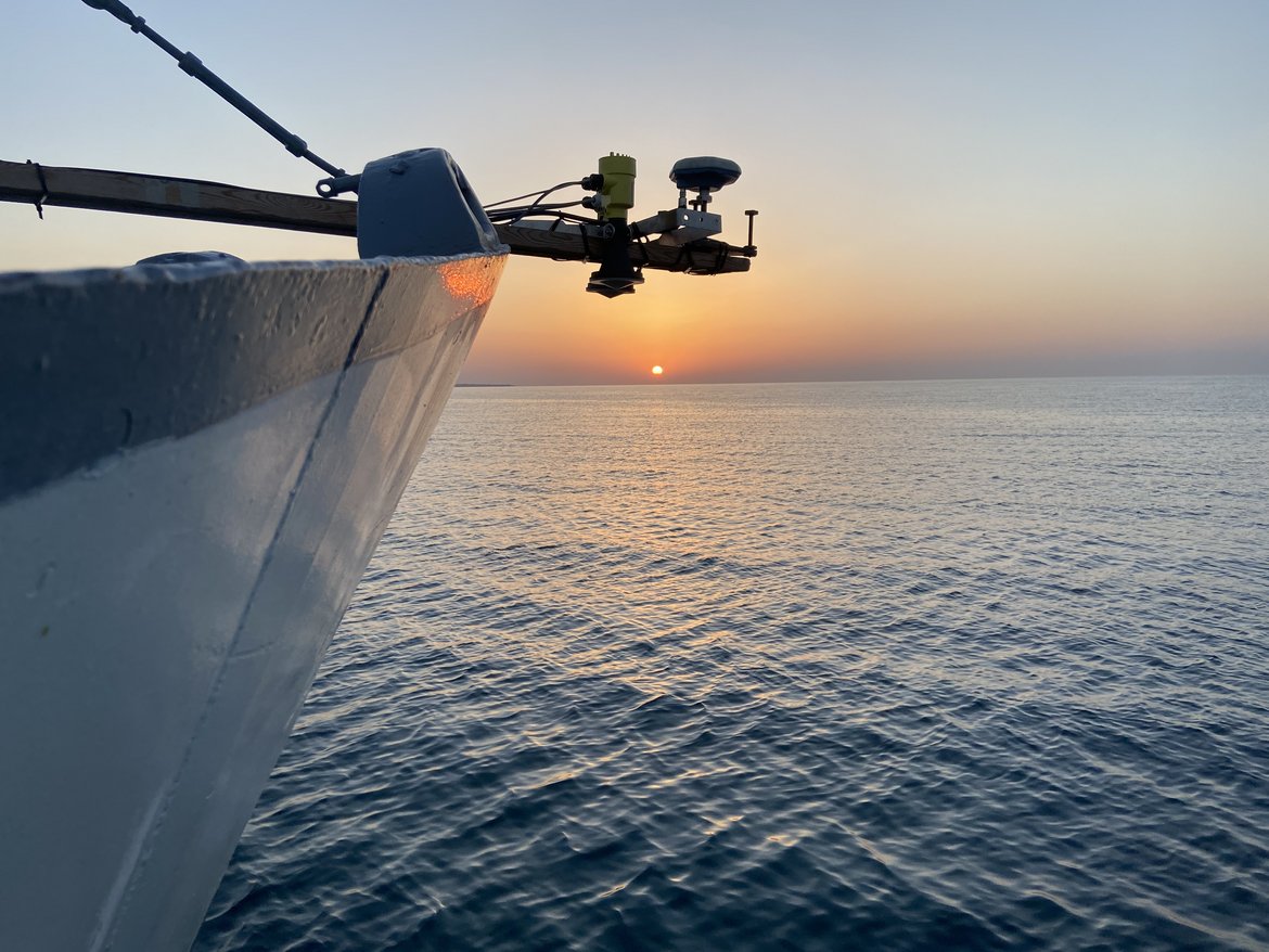
Another application of GNSS technology to determine water levels is at Lake Issyk Kul in Central Asia. Here we use GNSS on buoys and on a ship to measure the lake level and then apply this information to monitor radar altimetry.
Project partner:
- GITEWS & PROTECS (https://www.gitews.de)
- WISDOM: ‘Water related Information System for a sustainable Development of the Mekong Delta’ (https://wisdom.eoc.dlr.de)
- Agency for the Assessment and Application of Technology (BPPT) Indonesia
- Central-Asian Institute for Applied Geosciences
Project Duration:
- GITEWS: 2005 – 2011
- PROTECS: 2011-2014
- WISDOM: 2007-2010
- POF Programme and GCOCA
Funding:
- BMBF
- Haushold, ACROSS Initiative of the HGF
Project-related publications:
- Schöne, T., Pandoe, W., Mudita, I., Roemer, S., Illigner, J., Zech, C., & Galas, R. (2011). GPS water level measurements for Indonesia's Tsunami Early Warning System. Natural Hazards and Earth System Sciences (NHESS), 11(3), 741-749. doi:10.5194/nhess-11-741-2011
- Flüh, E. R., Schöne, T., Weinrebe, W. (Eds.) (2006): FS Sonne Fahrtbericht / cruise report SO186 B, C & D GITEWS: German Indonesian Tsunami Early Warning System; Jakarta-Jakarta & Jakarta-Singapore & Singapore-Singapore, (IFM-GEOMAR report; 5). https://gfzpublic.gfz-potsdam.de/pubman/item/item_234266
- Apel, H., Hung, N. G., Thoss, H., Schöne, T. (2012): GPS buoys for stage monitoring of large rivers. ‐ Journal of Hydrology, 412‐413, 182‐192 DOI: 10.1016/j.jhydrol.2011.07.043