Adaptation to Drought and El Niño Effects in the Central Highlands of Vietnam | Drought-ADAPT
The Drought-ADAPT project, funded by the German Federal Ministry of Education and Research (BMBF), addresses the growing risks of droughts and El Niño-related impacts in Vietnam’s Central Highlands — an agriculturally important region vulnerable to climate extremes. Running from June 2021 to December 2024, the project develops innovative strategies for drought adaptation through climate services, engineering solutions, and evidence-based planning at local and regional levels.
The project focuses on the 2S Basin, which comprises the Srepok and Se San rivers — a transboundary sub-basin of the Mekong River system, shared by Vietnam and Cambodia. Covering a large area, with most of it located in Vietnam’s Central Highlands, the region features diverse topography and is vital for agriculture, hydropower, and rural livelihoods. However, it is highly exposed to hydrological extremes such as floods and droughts, which are intensified by climate change and El Niño events. Water availability is strongly influenced by seasonal rainfall patterns and regulated by major reservoirs in both river basins, which play a key role in energy production but also alter natural flow regimes and can both aggravate or relief to dry-season water shortages, depending on reservoir operation.
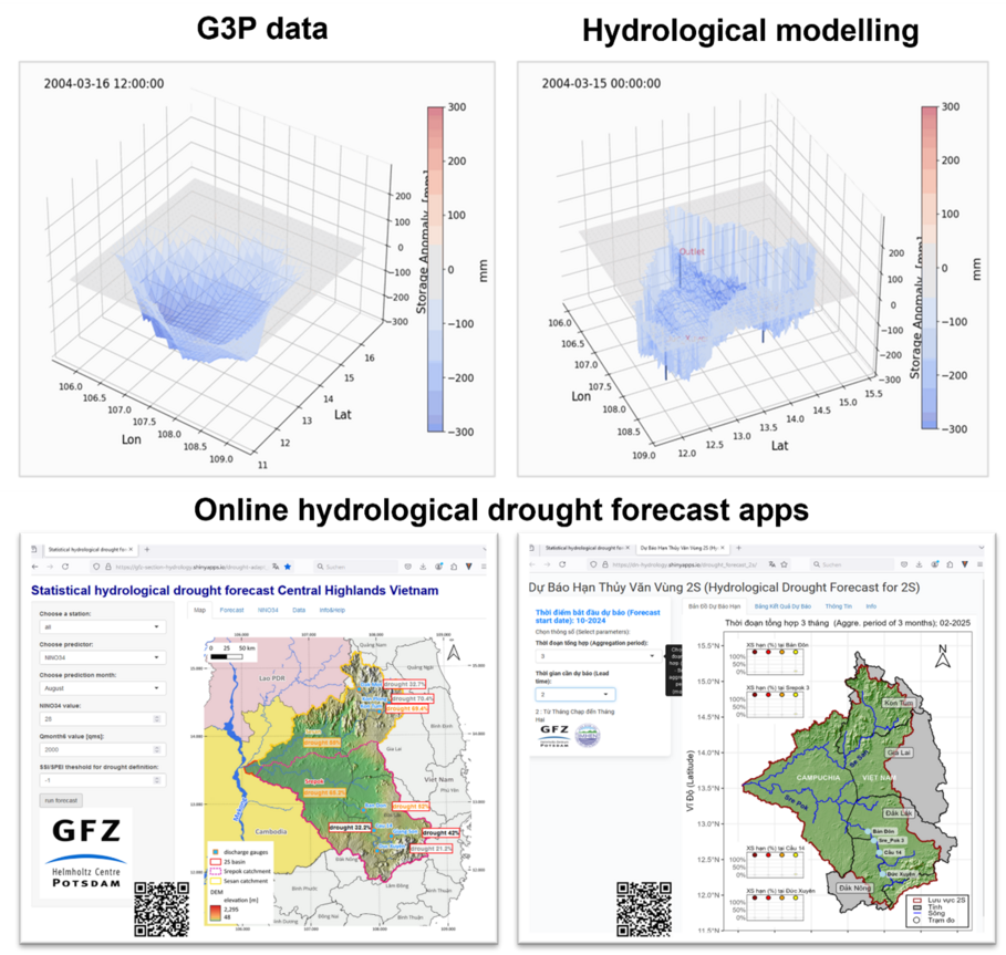
As part of this coordination project, the GFZ German Research Centre for Geosciences, Section Hydrology, leads Work Package 5000, which focuses on assessing surface and groundwater resources in the 2S basin through advanced modeling approaches. We make use of modern datasets, including GRACE-based satellite observations (https://www.g3p.eu/), which are validated against in-situ data to assess regional water storage dynamics. Our hydrological modeling also accounts for human influences, particularly the operation of multiple large reservoirs that play a key role in shaping flow regimes. Furthermore, we develop online applications for forecasting hydrological drought severity, using both statistical and numerical methods to support early warning systems and improve water resource management in the region.
