Drones in Volcanology: Enhancing Research and Safety
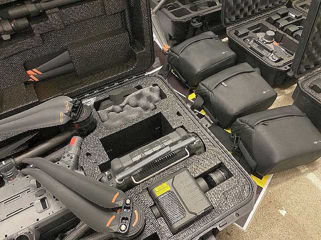
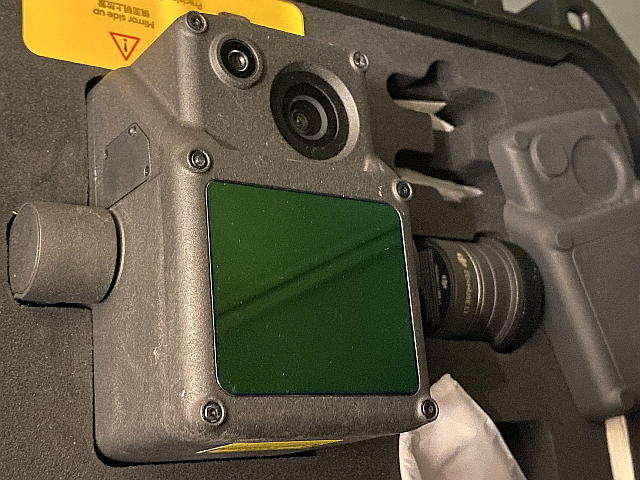
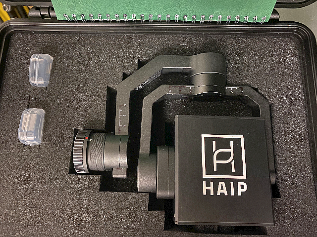
Drones are essential in volcanology, as they enable safe access to active volcanoes and provide real-time data. Equipped with cameras, heat sensors and gas analyzers, they collect important information that helps predict eruptions. High-resolution aerial images and topographical maps support the analysis of volcanic geomorphology and lava flows. Thanks to their cost-effective and rapid operational capability and advanced sensor technology (e.g. lidar, thermal infrared), they improve the data collection and modeling of volcanic processes, while their non-invasive approach protects the environment. The data obtained can also be used in a variety of other fields – drones are currently being developed that can also be used as seismic stations.
Drones are essential for safe and efficient volcano research.
Key benefits:
- Access to dangerous areas: They can reach active volcanoes that are inaccessible to researchers and provide data from craters and risk zones.
- Real-time monitoring: Equipped with cameras, heat sensors and gas analyzers, they detect gas emissions, thermal anomalies and landscape changes.
- High-resolution mapping: Drones create precise topographical maps for analyzing lava flows and eruption sequences.
- Cost-effective: Cheaper than manned flights or satellite imagery, they enable long-term monitoring.
- Rapid deployment: Ideal for emergency response and evacuation planning.
- Advanced data collection: Sensors such as lidar and infrared provide detailed insights into volcanic processes.
- Environmentally friendly: They have a minimal ecological footprint.
- Interdisciplinary applications: Data is valuable for geology, atmospheric research and environmental science. We are currently developing drones for seismic stations.
Walter, Thomas (2024): Drone based photogrammetry data at the Geysir geothermal field, Iceland. GFZ Data Services. https://doi.org/10.5880/GFZ.2.1.2024.001
Lun, A., Walter, T., Aguilera, F., Layana, S., Mania, R., Kujawa, C., Zimmer, M., Inostroza, M. (2023): Crater morphology, nested ring structures, and temperature anomalies studied by unoccupied aircraft system data at Lascar volcano, northern Chile. - Journal of Volcanology and Geothermal Research, 439, 107840. https://doi.org/10.1016/j.jvolgeores.2023.107840.
Marzban, P., S. Bredemeyer, T.R. Walter, F. Kaestner, D. Mueller, and S. Chabrillat, 2023, Hydrothermally altered deposits of 2014 Askja landslide, Iceland, identified by remote sensing imaging. Frontiers in Earth Science. 11. https://doi.org/10.3389/feart.2023.1083043.
Allahbakhshi, M.; Shevchenko, A.V.; Belousov, A.B.; Belousova, M.G.; Kämpf, H.; Walter, T.R. Geothermal Explosion at the 2014 Landslide-Covered Area of the Geyser Valley, Kamchatka, Russian Far East. GeoHazards 2023, 4, 60-76. https://doi.org/10.3390/geohazards4010005.
Darmawan, H., Putra, R., Budi-Santoso, A., Humaida, H., Walter, T. (2023): Morphology and Instability of the Merapi Lava Dome Monitored by Unoccupied Aircraft Systems. - In: Gertisser, R., Troll, V. R., Walter, T., Nandaka, I. G. M. A., Ratdomopurbo, A. (Eds.), Merapi Volcano: Geology, Eruptive Activity, and Monitoring of a High-Risk Volcano, (Active Volcanoes of the World), Cham: Springer International Publishing, 457-472. https://doi.org/10.1007/978-3-031-15040-1_15.
Mueller, D., T.R. Walter, M. Zimmer, and G. Gonzalez, 2022, Distribution, structural and hydrological control of the hot springs and geysers of El Tatio, Chile, revealed by optical and thermal infrared drone surveying. Journal of Volcanology and Geothermal Research. 432. https://doi.org/10.1016/j.jvolgeores.2022.107696.
Darmawan, H., V.R. Troll, T.R. Walter, F.M. Deegan, H. Geiger, M.J. Heap, N. Seraphine, C. Harris, H. Humaida, and D. Muller, 2022, Hidden mechanical weaknesses within lava domes provided by buried high-porosity hydrothermal alteration zones. Nature Scientific Reports. 12(1). https://doi.org/10.1038/s41598-022-06765-9.
Bindeman, I.N., F.M. Deegan, V.R. Troll, T. Thordarson, A. Hoskuldsson, W.M. Moreland, E.U. Zorn, A.V. Shevchenko, and T.R. Walter, 2022, Diverse mantle components with invariant oxygen isotopes in the 2021 Fagradalsfjall eruption, Iceland. Nature Communications. 13(1). https://doi.org/10.1038/s41467-022-31348-7.
Shevchenko, A.V., V.N. Dvigalo, E.U. Zorn, M.S. Vassileva, F. Massimetti, T.R. Walter, I.Y. Svirid, S.A. Chirkov, A.Y. Ozerov, V.A. Tsvetkov, and I.A. Borisov, 2021, Constructive and Destructive Processes During the 2018-2019 Eruption Episode at Shiveluch Volcano, Kamchatka, Studied From Satellite and Aerial Data. Frontiers in Earth Science. 9. https://doi.org/10.3389/feart.2021.680051.
Mueller, D., S. Bredemeyer, E. Zorn, E. De Paolo, and T.R. Walter, 2021, Surveying fumarole sites and hydrothermal alteration by unoccupied aircraft systems (UAS) at the La Fossa cone, Vulcano Island (Italy). Journal of Volcanology and Geothermal Research. 413. https://doi.org/10.1016/j.jvolgeores.2021.107208.
Zorn, E.U., T.R. Walter, J.B. Johnson, and R. Mania, 2020, UAS-based tracking of the Santiaguito Lava Dome, Guatemala. Scientific Reports. 10(1). https://doi.org/10.1038/s41598-020-65386-2.
Walter, T.R., P. Jousset, M. Allahbakhshi, T. Witt, M.T. Gudmundsson, and G.P. Hersir, 2020, Underwater and drone based photogrammetry reveals structural control at Geysir geothermal field in Iceland. Journal of Volcanology and Geothermal Research. 391. https://doi.org/10.1016/j.jvolgeores.2018.01.010.
Walter, T.R., A. Belousov, M. Belousova, T. Kotenko, and A. Auer, 2020, The 2019 Eruption Dynamics and Morphology at Ebeko Volcano Monitored by Unoccupied Aircraft Systems (UAS) and Field Stations. Remote Sensing. 12(12). https://doi.org/10.3390/rs12121961.
James, M., Carr, B., D'Arcy, F., Diefenbach, A., Dietterich, H., Fornaciai, A., Lev, E., Liu, E., Pieri, D., Rodgers, M., Smets, B., Terada, A., von Aulock, F., Walter, T., Wood, K., Zorn, E. (2020): Volcanological applications of unoccupied aircraft systems (UAS): Developments, strategies, and future challenges. - Volcanica, 3, 1, 67-114. https://doi.org/10.30909/vol.03.01.67114.
Gaete, A., T.R. Walter, S. Bredemeyer, M. Zimmer, C. Kujawa, L.F. Marin, J. San Martin, and C.B. Parra, 2020, Processes culminating in the 2015 phreatic explosion at Lascar volcano, Chile, evidenced by multiparametric data. Natural Hazards and Earth System Sciences. 20(2): p. 377-397. https://doi.org/10.5194/nhess-20-377-2020.
Walter, T.R., J. Salzer, N. Varley, C. Navarro, R. Arambula-Mendoza, and D. Vargas-Bracamontes, 2018, Localized and distributed erosion triggered by the 2015 Hurricane Patricia investigated by repeated drone surveys and time lapse cameras at Volcan de Colima, Mexico. Geomorphology. 319: p. 186-198. https://doi.org/10.1016/j.geomorph.2018.07.020.
Darmawan, H., T.R. Walter, K.S. Brotopuspito, Subandriyo, and I.G.M.A. Nandaka, 2018, Morphological and structural changes at the Merapi lava dome monitored in 2012-15 using unmanned aerial vehicles (UAVs). Journal of Volcanology and Geothermal Research. 349: p. 256-267. https://doi.org/10.1016/j.jvolgeores.2017.11.006.
Muller, D., T.R. Walter, A. Schopa, T. Witt, B. Steinke, M.T. Gudmundsson, and T. Durig, 2017, High-Resolution Digital Elevation Modeling from TLS and UAV Campaign Reveals Structural Complexity at the 2014/2015 Holuhraun Eruption Site, Iceland. Frontiers in Earth Science. 5. https://doi.org/10.3389/feart.2017.00059.
(for publications older than this please refer to the GFZ section 2.1 publication page)