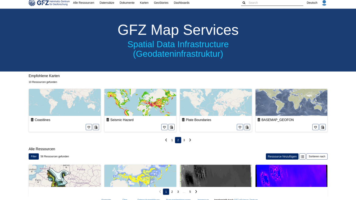
The GFZ Map Services - Spatial Data Infrastructure (SDI) provides a centralized platform for the structured provision, management, and exchange of spatial data. An SDI enables spatial datasets not only to be stored but also to be made directly accessible on the web via standardized interfaces and integrated into scientific workflows.
The service is based on the open-source software GeoNode and supports established Open Geospatial Consortium (OGC) standards such as WMS, WCS, and WFS. This allows for the seamless integration of geographic information into external GIS systems or custom scientific applications.
Key features include:
- Data management: Uploading, organizing, and managing datasets in various established formats
- Web-based map applications: Creating and customizing interactive maps that can be embedded into websites or applications
- Interactive presentation: Using "GeoStories" and "dashboards" to visualize complex spatial relationships
The GFZ Map Services - Spatial Data Infrastructure (SDI) is provided as part of the DataHub.