Automatic near real-time processing of GPS-data

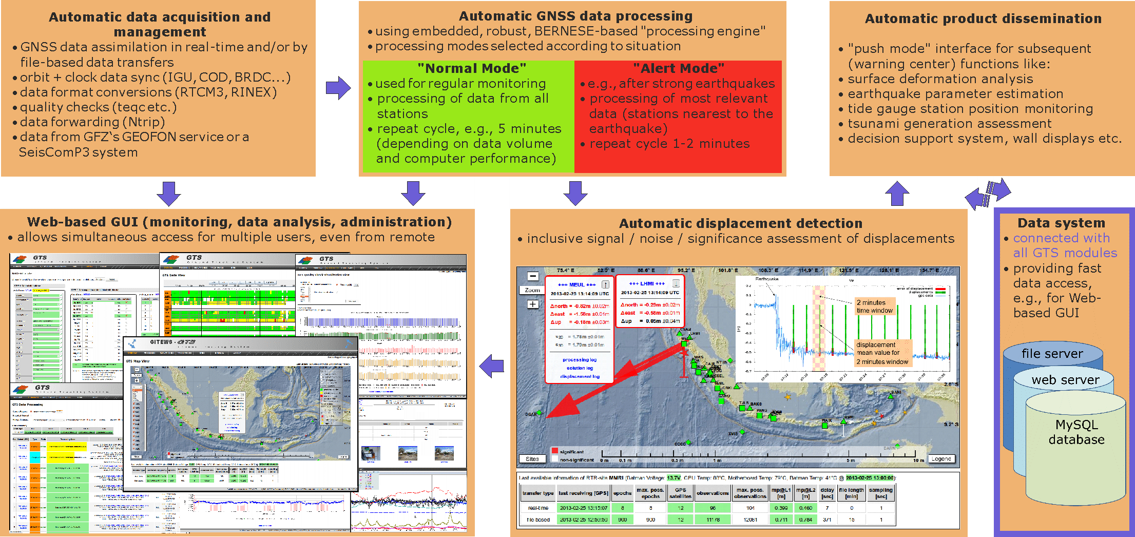
The use of GNSS technologies for early warning tasks requires not only the use of high-quality GNSS receivers and antennas, but also careful yet rapid data processing of the GNSS raw data, which can only be achieved through automatic data processing. Within the scope of the GITEWS project, an automatic GNSS data processing system was developed and integrated by GFZ for the Indonesian Tsunami Early Warning System (INATEWS) in Jakarta (Figure 1). This system has been in operation there since the end of 2008.

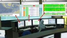
One component of the newly developed system is the web-based, graphical user interface (Web-GUI), which enables easy-to-use monitoring of the GNSS networks and the automatic GNSS processing system itself. This means that the warning center operators (Figure 2) can see at any time and from any location with internet access whether all system components are functioning properly or whether the performance is somehow restricted.
Project partners:
- BMKG (Meteorology, Climatology and Geophysics Agency, Jakarta, Indonesia)
Time frame:
- 2005 -2011
Funding:
- German Federal Ministry for Education and Research (BMBF), Grant 03TSU01
Project related publication:
- Falck, C., Ramatschi, M., Subarya, C., Bartsch, M., Merx, A., Hoeberechts, J., Schmidt, G. (2010): Near real-time GPS applications for tsunami early warning systems. - Natural Hazards and Earth System Sciences (NHESS), 10, 2, 181-189. https://doi.org/10.5194/nhess-10-181-2010