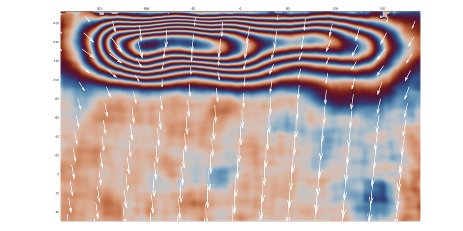


The Earth’s lithosphere—the solid, roughly 100-kilometer-thick outer shell—is divided into several large, rigid plates that slowly drift over the softer, flowing mantle beneath. Where these plates collide, major geological processes take place: mountains rise, earthquakes and landlside occur, and volcanoes erupt. These events span timescales from seconds to millions of years.
Our section studies how the Earth's crust deforms mainly along active plate boundaries. Our goal is to understand the physical processes driving this deformation—from surface faulting to deep subduction—and how these processes shape the Earth's surface over time.
We focus on key regions like the Andes, where the Nazca and South American plates collide, generating strong earthquakes and building one of the world’s largest mountain ranges. Another important area is the Mediterranean, where the African plate is moving beneath Eurasia, creating complex zones of compression and extension. We also work in Central Asia, the Caribbean, and volcanic regions such as Mount Etna, where deformation happens especially rapidly.
Using a combination of geology, seismology, satellite-based geodesy, and modelling, we investigate how the Earth moves and changes. Our field stations record earthquakes and measure crustal deformation in real time. These observations help us image structures on the Earth surface and reconstruct past and present deformation patterns.
Our work not only advances scientific understanding of plate tectonics, but also contributes to assessing natural hazards—knowledge that is vital for the safety and resilience of people living in tectonically active regions.


![[Translate to English:] Portraitfoto](/fileadmin/_processed_/3/d/csm_20250715-kachel_Paola-Vannucchi_-c-Jason-Morgan_ce4b4009a8.jpeg)


![[Translate to English:] Group photo with all the people who attended the farewell](/fileadmin/_processed_/7/0/csm_2022_09_01_Kolloquium_Onno_Oncken_32a16ee252.jpeg)