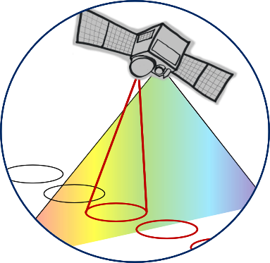
VeggieH is a new satellite mission proposed by Airbus, GFZ and LUM, carrying a LiDAR and a multispectral imager. The combination of two sensors will allow to improve monitoring of the carbon cycle and provide a unique opportunity to observe vegetation and biomass changes. It will provide structural as well as biogeochemical parameters on vegetation, especially forests worldwide. Additionally, the mission will contribute to the understanding of critical land surface changes, such as climate-induced deformations and extreme events i.e., landslides and earthquakes. In particular, VeggieH will answer three research questions:
- How is carbon storage distributed globally in forests and how is this distribution changing?
- What effects do climate change and anthropogenic influences have on vegetation structure, growth, and disturbance events?
- What is the extent and what are the consequences of critical changes in land surface for humans, the environment, and the climate?
Possible applications will be in quantification of carbon stored in above ground biomass, monitoring of ecosystem health and resilience and in agriculture and managing land resources.
The feasibility study is funded by DLR and lead by Airbus, building on experience developing MERLIN, a satellite carrying an atmospheric LiDAR instrument. Fraunhofer ILT is contributing to the laser development. Mission requirements and scientific user needs are developed by GFZ in collaboration with LMU.