
Graphical user interfaces for GNSS-based technologies are the visible parts of software that allow users to operate GNSS devices and systems for processing GNSS data. There are a large number of programmes for GNSS-based applications with many users (e.g. GPS navigation in vehicles), but only very few programmes for specialised monitoring tasks (e.g. in early warning), for which special software developments may be required.
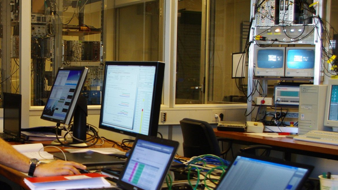
Special monitoring tasks require, in particular, a customised display of measurement data. For early warning applications, it is also necessary to process relevant data and system parameters very quickly, in conjunction with graphical displays that can be directly and reliably understood by the user. A graphical user interface that meets these high requirements has been developed for the monitoring and operation of the GPS stations used in the project GITEWS (e.g., GPS real-time reference stations), the automatic near real-time GPS-processing systems and the ground tracking system. The system is web-based, so that all functions and views can be provided over the Internet. Therefore, users do not need any special software or operating system; a normal web browser is sufficient. All relevant parameters are displayed, from the operating states of the GNSS stations and processing systems to the system products, such as the co-seismic displacement vectors of the station locations derived from the measurements. In addition, otherwise often time-consuming administrative tasks, such as the integration of new GNSS sensors, can be handled with convenient functions. The system design also allows for adaptation to new tasks as required. Examples of this are the already proven combination with real-time GNSS data processing software and an experiment to test the radiation hardness (space suitability) of a GNSS receiver using a cyclotron radiation source (see photo).
Project partners:
- BMKG (Meteorology, Climatology and Geophysics Agency, Jakarta, Indonesia)
- Airbus Defence and Space (previously EADS Astrium)
Time frame:
- 2005 -2011
Funding:
- German Federal Ministry for Education and Research (BMBF), Grant 03TSU01
- Airbus Defence and Space (previously EADS Astrium)
Project related publication:
- Falck, C., Ramatschi, M., Subarya, C., Bartsch, M., Merx, A., Hoeberechts, J., Schmidt, G. (2010): Near real-time GPS applications for tsunami early warning systems. - Natural Hazards and Earth System Sciences (NHESS), 10, 2, 181-189. https://doi.org/10.5194/nhess-10-181-2010