Quantifying fault response to enhanced climate-driven erosion using cosmogenic nuclides and geomechanical models
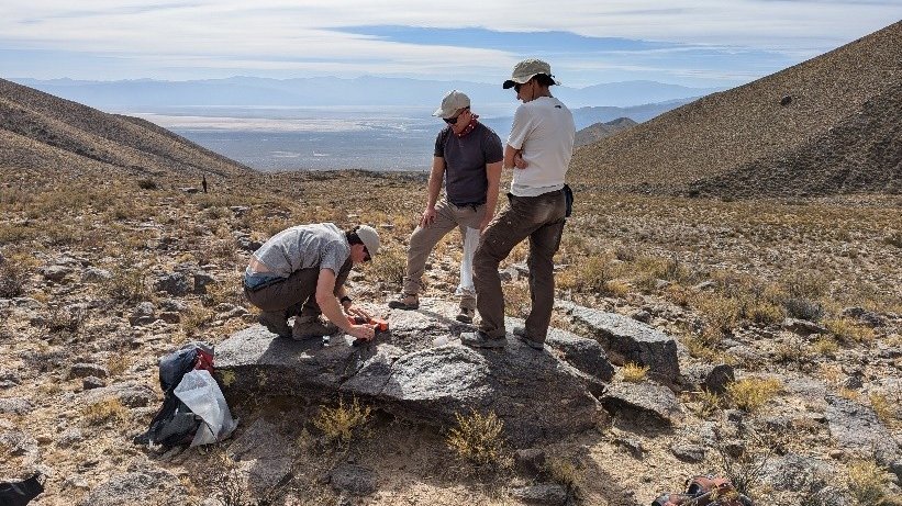
Mountain topography embeds a signal of past climate-driven erosion and tectonic evolution. This delicate interplay can be characterized using numerical models whose outputs provide a framework to understand the climate evolution or forecast future fault behaviour and earthquakes. To validate models of climate and tectonic interactions during mountain building requires high-resolution records of erosion rates, sedimentation rates, climate variability, and fault activity. However, sites with detailed Quaternary records of all these variables are rare, thus hindering our ability to validate model results. CosMechNuclides aims to enhance our understanding of how tectonic and climatic variables influence landscape evolution using a multi-systems approach in an area with a wealth of quantitative data on tectonic, climatic, and erosion processes. We are generating a high-resolution record of fault slip rates beneath the Sierra de Aconquija (SdA) in northwest Argentina using cosmogenic nuclides and drone-derived topographic data. The slip-rates will add to an existing, multi-faceted, database of erosion and tectonic data from the SdA which will be applied to calibrate cutting-edge, data-driven, geomechanical models that integrate tectonics, climate, and erosion during mountain building. The project outputs will help quantify how enhanced orographic precipitation can influence rates of tectonic uplift whilst helping to characterize earthquake hazards in northwest Argentina.